
shootinfo.com portal supports a walk
![]() Shootinfo.com Info 12.09.2017
Shootinfo.com Info 12.09.2017
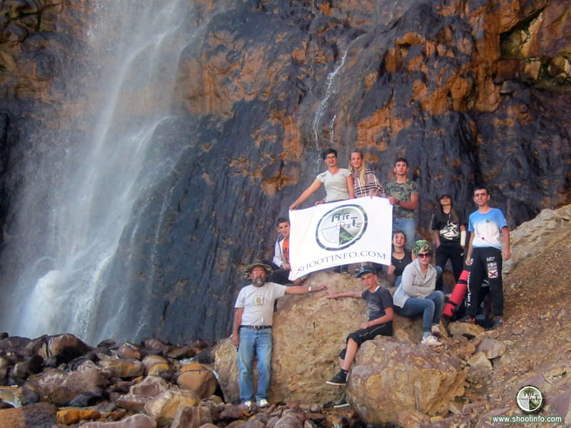
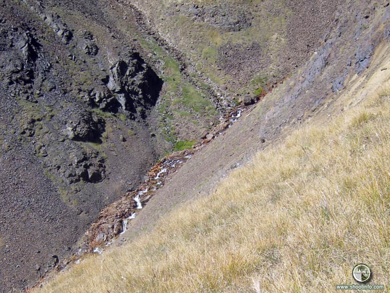
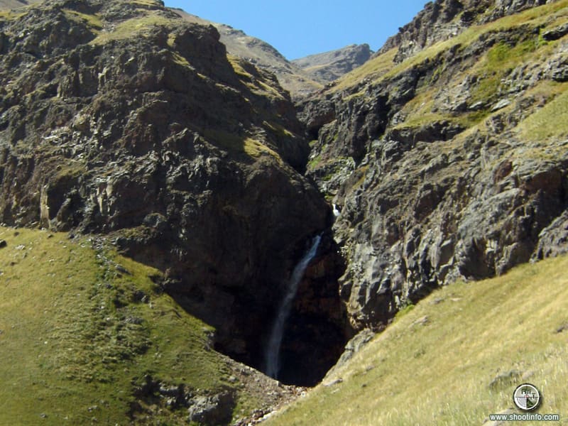
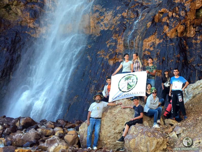
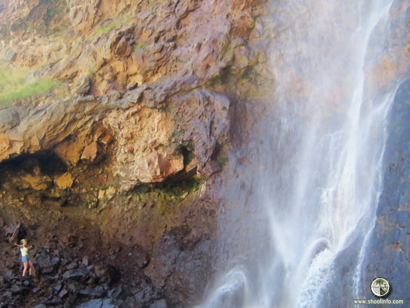
The Gegharot waterfal
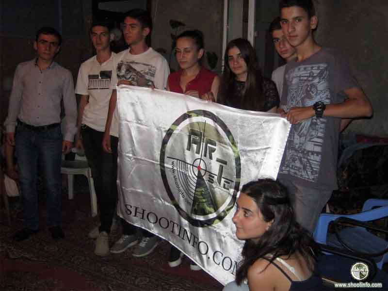
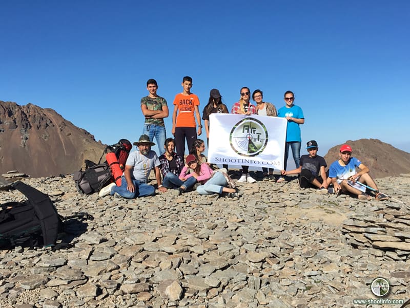
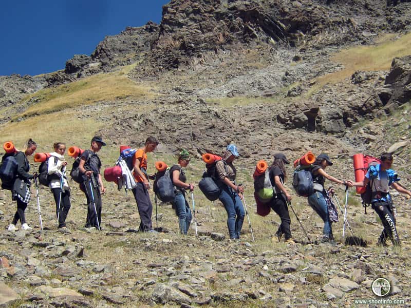
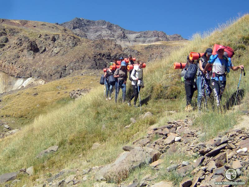
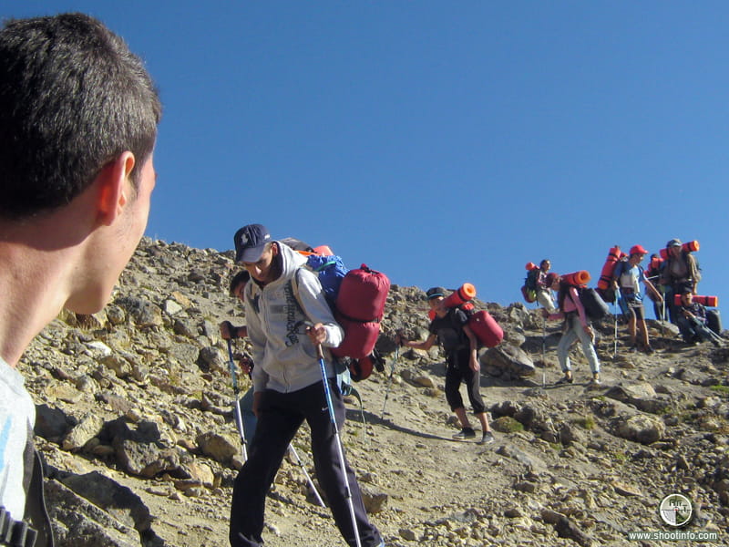
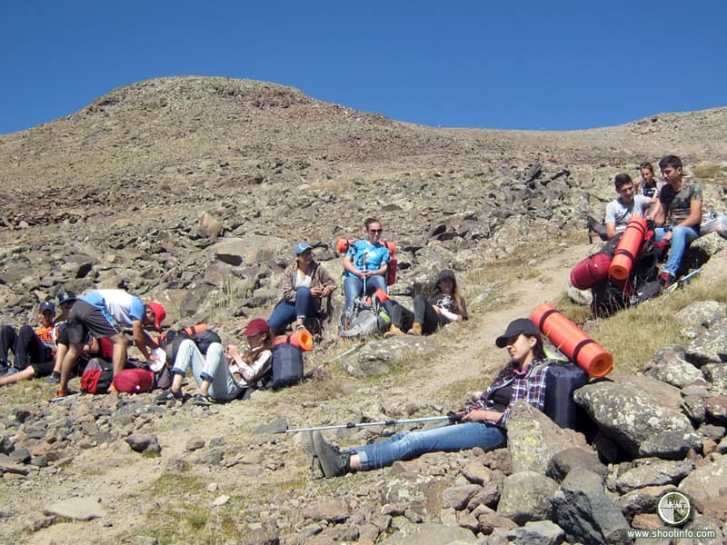
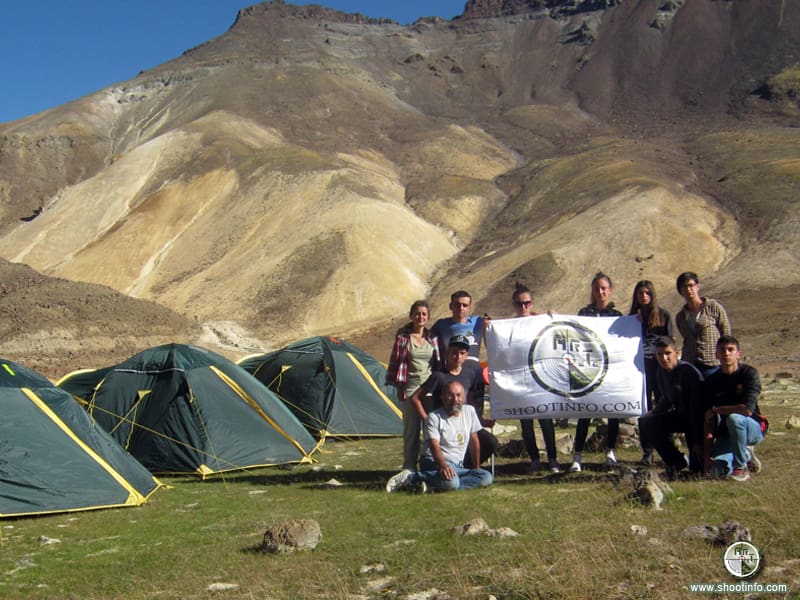
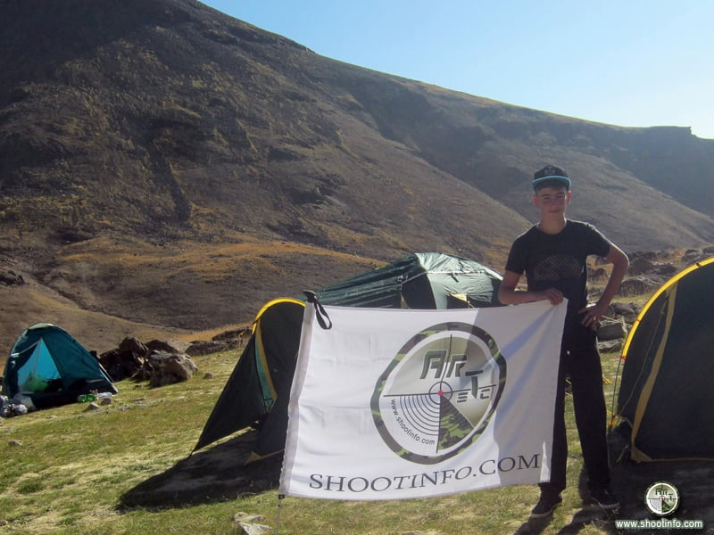
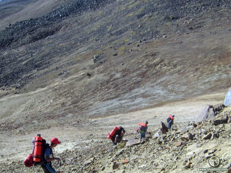
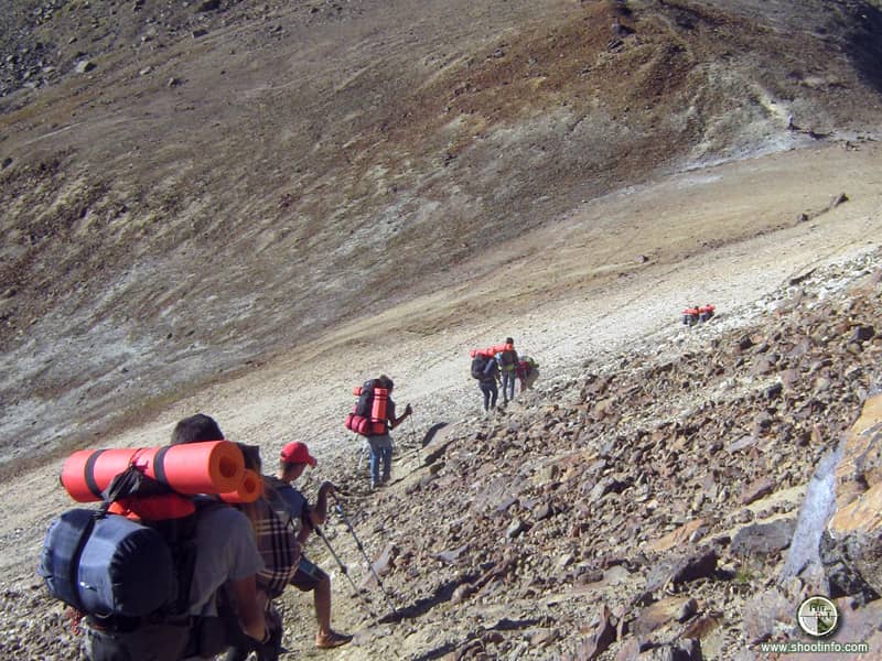
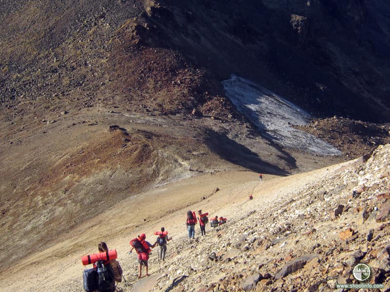
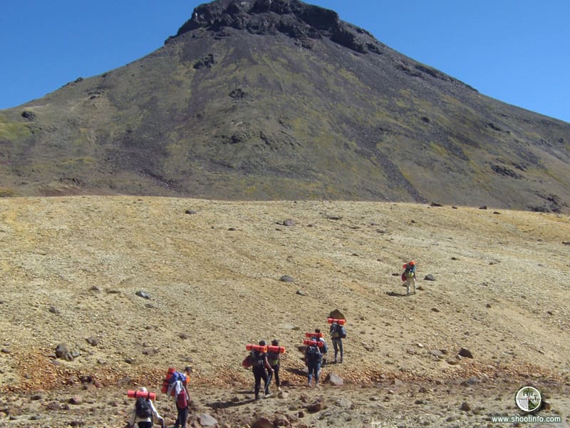
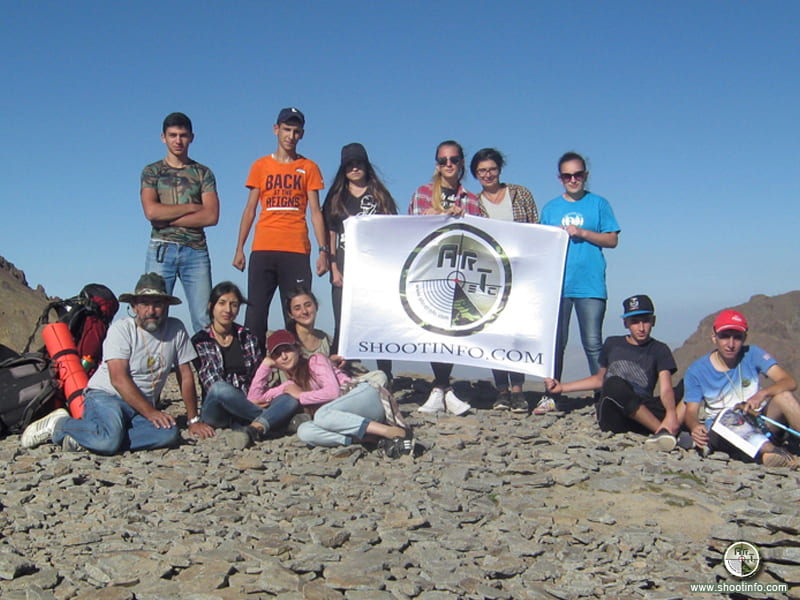
The Shootinfo.com portal, constantly emphasizing the harmony of man and nature, supported the “Robinson” hiking and survival club and the organizers of the walking tour held on September 9-10 for the route “Lake Kari – the southern peak of the Aragats mountain – the Gegharot waterfall – the village of Aragats”. Young people who took part in the walking tour again had the opportunity to communicate and study the nature, to feel its power.
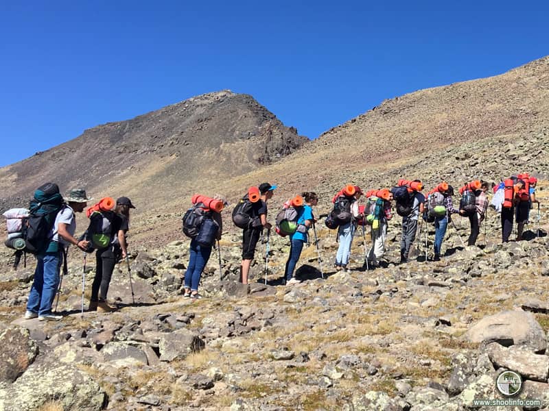
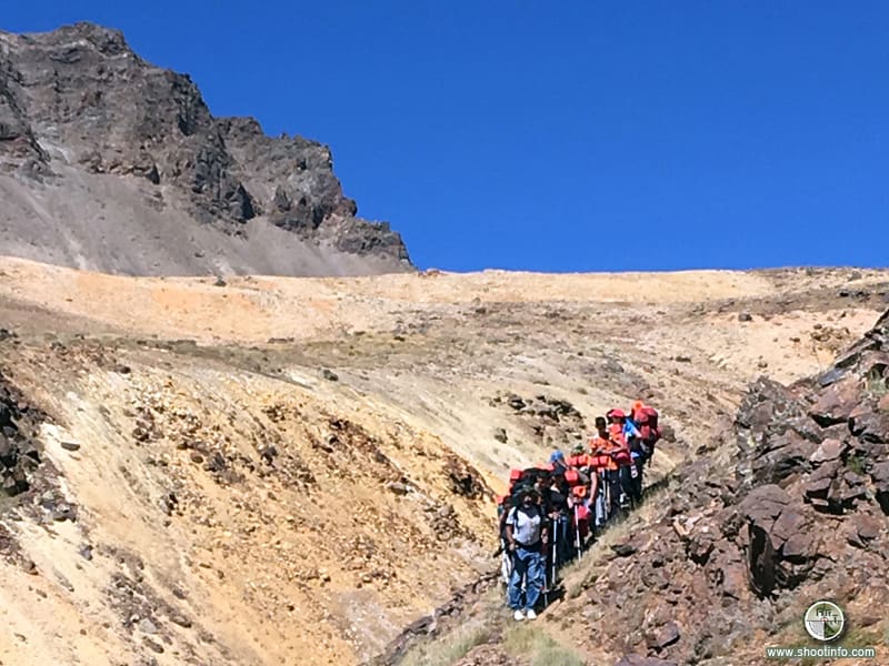
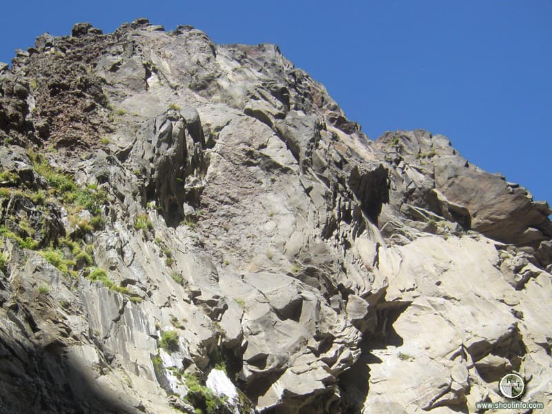
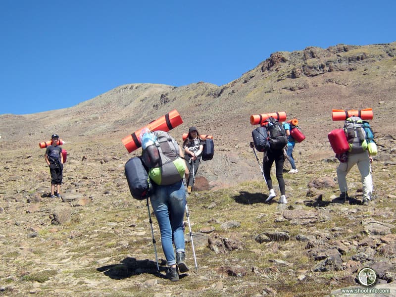
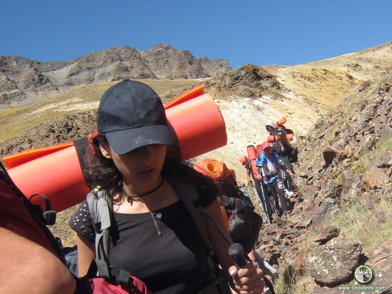
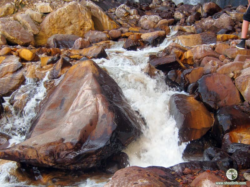
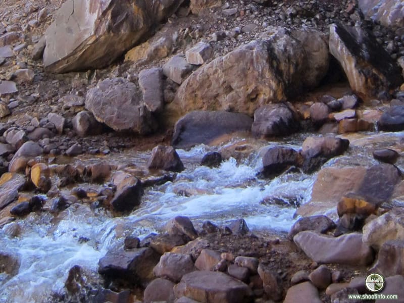
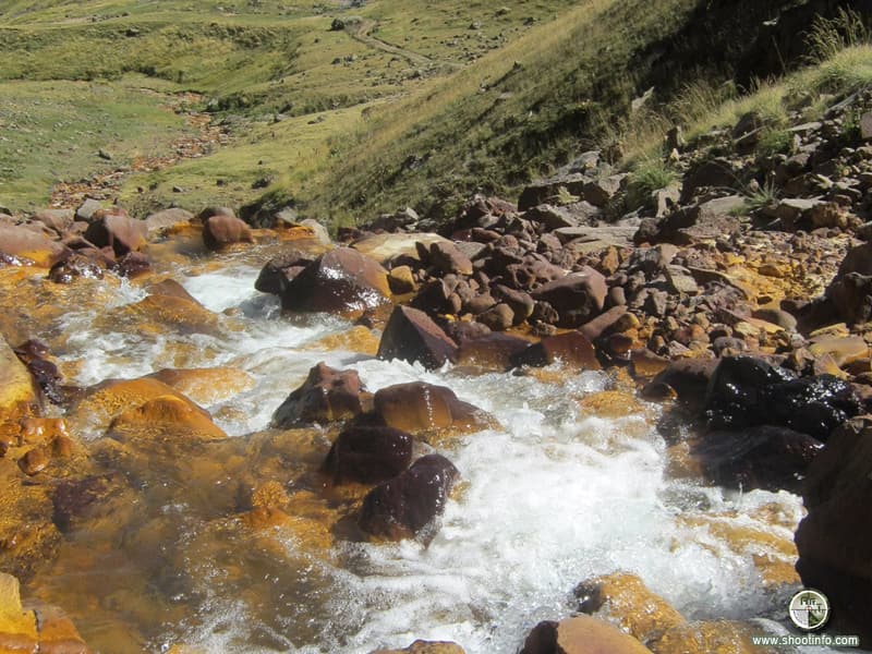
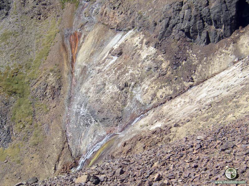
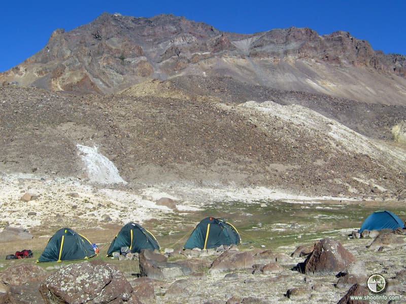
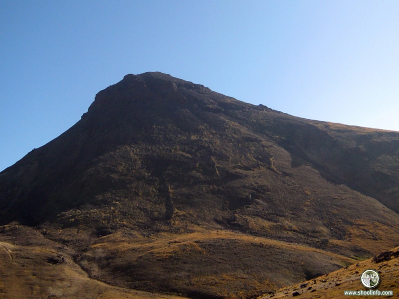
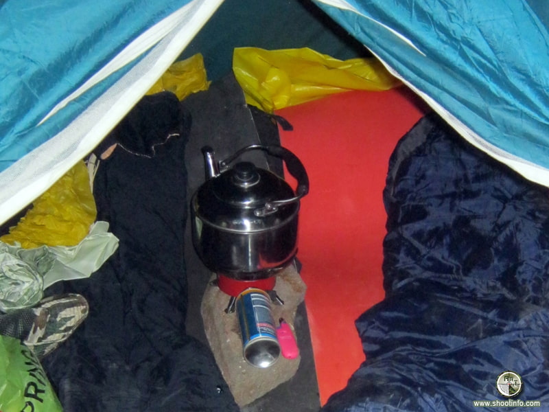
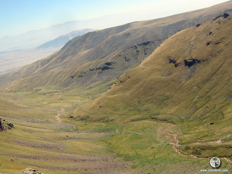
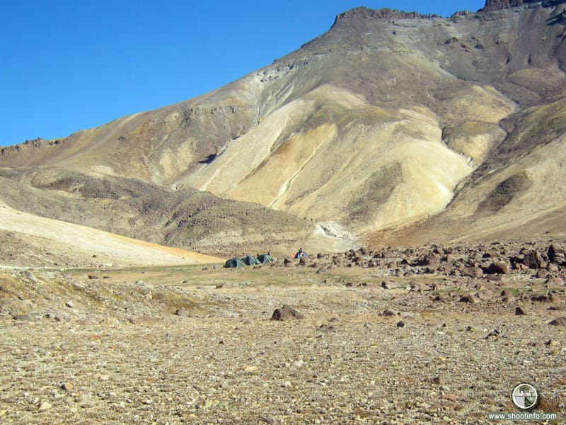
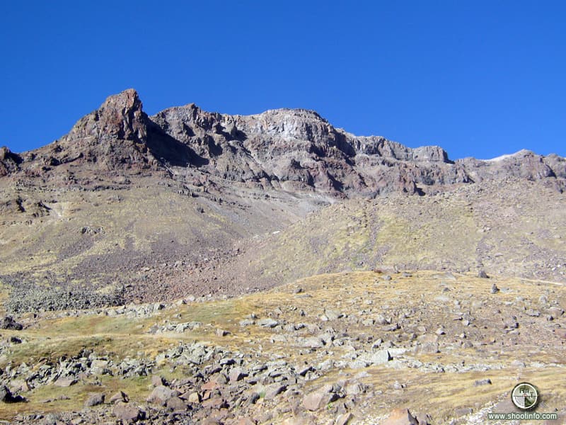
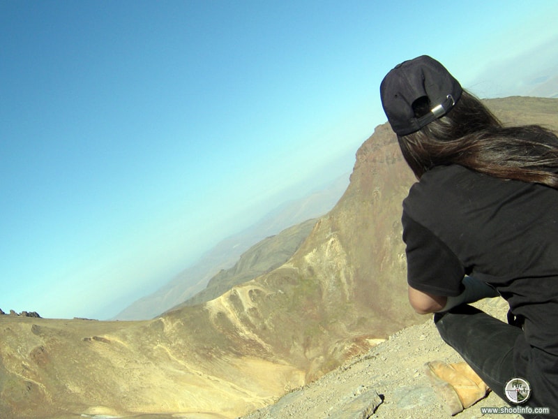
The hike began with the high-mountain Lake Kari, which is located at an altitude of 3200 meters above sea level. Climbing to the southern peak of Mount Aragats (3878.8 m) was organized, and then descending to the volcanic crater, the hikers set up a tent camp. The huge crater-circus has a depth of 350 meters and a width of 3 kilometers, which, with an erosive sifting in the southeast side, connects with the surrounding world. The next morning, gathering the camp and their luggage, the walkers took their way along a dangerous rise towards the V-shaped valley of the Gegharot river and the Gegharot waterfall (15 meters high). Then they passed 28 km from the waterfall to the village of Aragats (Ghaznafar), where they completed the hike “Lake Kari – the southern peak of the Aragats mountain – the Gegharot waterfall – the village of Aragats”.